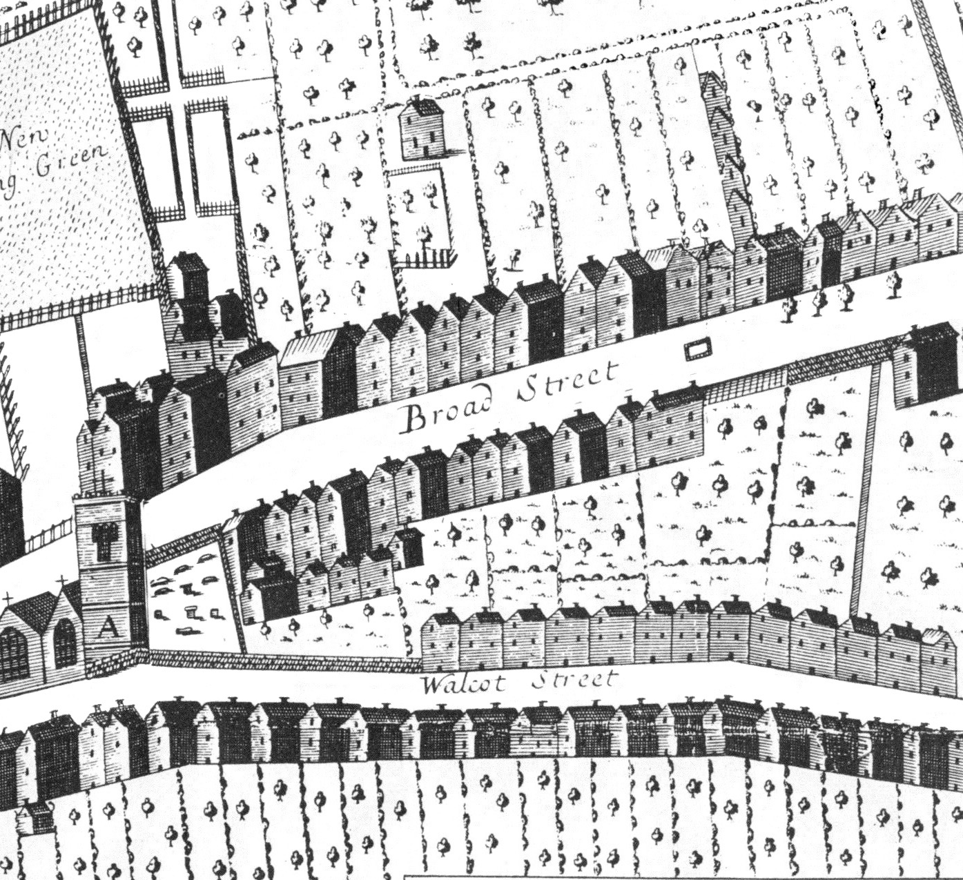
This image is from Joseph Gilmore’s Map of the City of Bath 1694 – 1717 (available from www.bathintime.co.uk, along with lots of other beautiful images). Apparently this was drawn in the style of the tourist maps we have now, with lodging houses illustrated around the edge.
I love the slightly wonky way the houses have been crammed into the streets, and the beautifully drawn trees. Central Bath must have looked so different before the Georgians arrived! Judging by this map there was a bit more green space than we have here now.
The second image is a little block print I made after seeing this map – using this block to print a street of houses:

